Please note: this post covers two stages, Ukegawa to Koguchi and Koguchi to Nachisan as I did them in one day.
The night before my Ukegawa to Nachisan hike, I had slept in the village of Yunomine after the hike of the previous day. From Yunomine, there are several direct buses to Ukegawa (however, be aware that buses don’t run on regular intervals and are rather limited).
Tip: make sure you make your way to the trailhead in time. I discussed with my ryokan in Yunomine to have breakfast at 6h40, so I could make the 6h55 bus to Ukegawa and start walking by 7h15. No luxury, with a long day ahead.
Ukegawa.
Tip: If you’re walking the next day after you arrive in Hongu, check whether you will be able to buy food at the next trailhead. If you’re walking from Ukegawa or if you’re starting early from Koguchi (the store won’t open till 9h00), consider buying food (lunch, extra food) in Hongu where there’s plenty of shops.
I started early morning and kept a steady pace.
Ukegawa to Koguchi.

Koguchi.

Koguchi proved to be pretty much the ideal halfway point for my day. There’s a (Western-style) toilet (at the old school building). There are multiple vending machines and there’s a small supermarket (photo) that sells pretty much everything you need: water, other liquids, a range of fresh and packed foods and even toilet paper.
Koguchi to Nachisan, Nachi Falls.
This is without a doubt the hardest stretch I did on the Kumano Kodo trail and one of the hardest stretches I did in my life. From Koguchi, it is full 4,5 kilometers (until marker 20) of climbing up until an altitude of about 880 meters. At first, the climbing is gradual with stairs and you will encounter some plateaus. But, as soon as you think you’ll be fine, the true climb begins. The last 2,5 kilometers till the top of the Echizen-toge pass are tough and sometimes really slippery.
Tip: make sure to check beforehand how long the climb really is. It s*cks to thing you’re done, while you have another 6 markers to go.

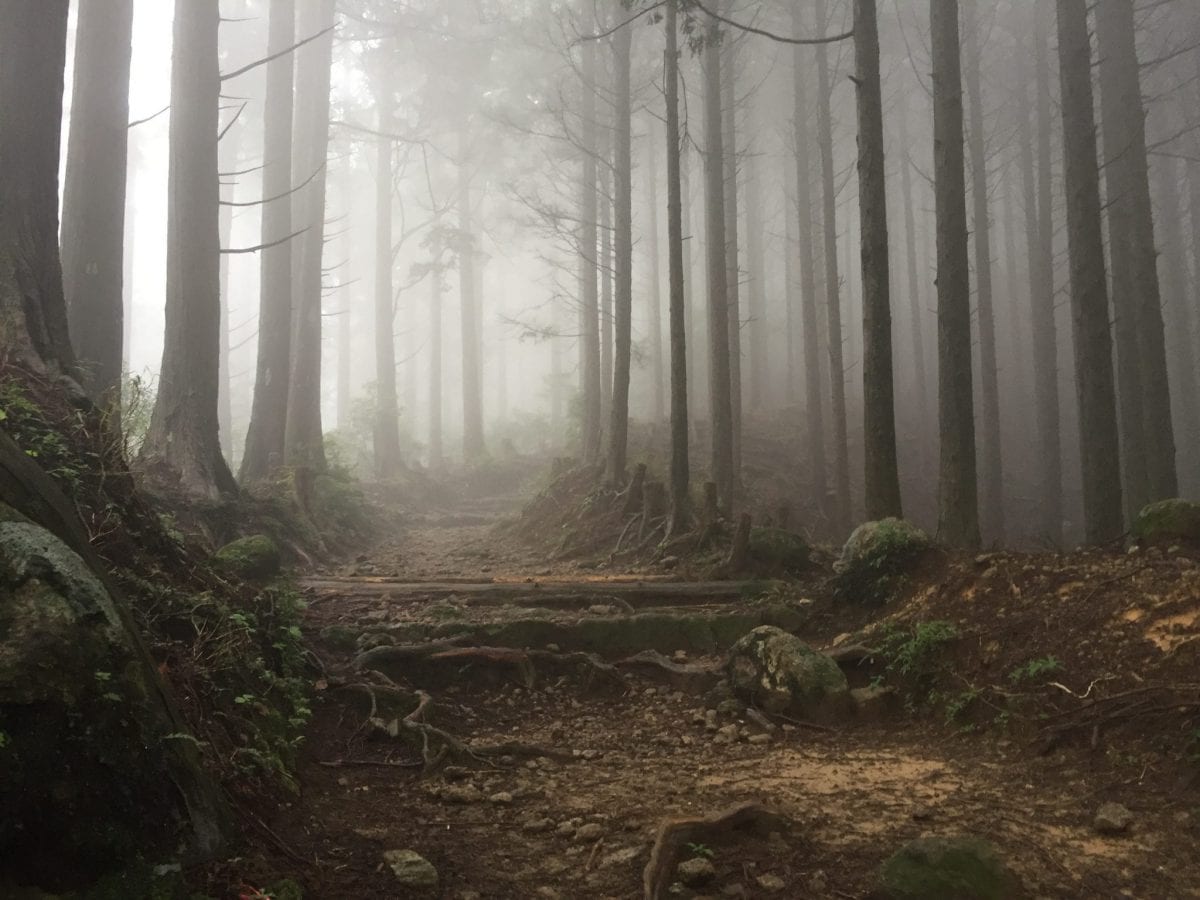
After passing the Echizen-toge pass, you have only a short while to catch your breath and go on to the next pass. And even after that -apart from a 2 kilometer stretch between markers 18 and 14 where you’ll be walking on the road- the path is not easy. Many small climbs and descents, bad roads and slippery stones make that you’ll need to focus and be alert most of the time. I was unfortunate enough that weather was extremely foggy, making sure I could not get a glimpse of Nachisan and Nachi Falls from the hills. Too bad.
Nachisan and Nachi Falls.

As soon as you arrive at Nachisan, you’ll see the large parking space there. With some luck, you’ll spot wild deer.
From there it is another long (over 1 kilometer) descent via slippery stairs to the three-storied temple, the falls and the bus stop to Nachi and Katsuura. Especially when there is rain and you’re tired after a long walk, these stairs are slippery and therefore dangerous. Be sure to plan for this when you’re rushed for time to catch your bus!

3 comments