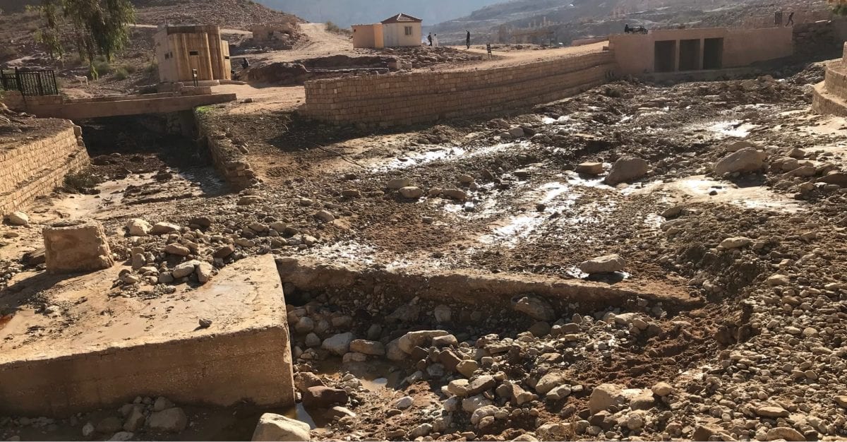
While preparing for my Jordan Trail hike and packing my last items, I was confronted with the terrible news that 21 people had died in a tragic flash flood accident near the Dead Sea. Additionally, during my hike of the Jordan Trail, 12 people died and 3700 people were evacuated because of flash floods in and around Petra. Although accidents like these are very rare, being safe on the trail should always be your main priority, so I hoped for the best, prepared for the worst. Here are my tips for getting weather information on the Jordan Trail.
Weather information on the Jordan Trail – what you can do yourself
Part of my morning and evening routines is checking on the weather. There are five main sources for weather information:
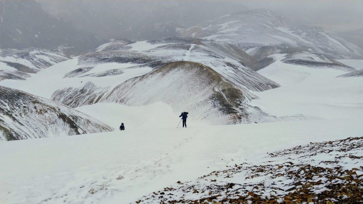
- Locals. When you learn some basic Arabic words for the trail, you should be able to get a good sense of the dangers ahead. Locals are usually super helpful and knowledgable when it comes to weather dangers (so I learned during my challenging days on the Iceland Laugavegur and Fimmvörðuháls trails where I got caught off guard by a snowstorm).
- The Arabia Weather app. I would strongly recommend downloading the Arabia Weather app – a very very accurate weather app that lets you set weather notifications and that will pro-actively send weather warnings.
- The Jordan Department of Meteorology has a website with recent weather info which visually seems to be a bit stuck in the past but shows reliable real-time weather information.
- JTA Field operation manager. The amazing Jordan Trail Association (JTA), the organisation that manages and promotes the Jordan Trail, has a field operation manager (George) that can help with weather information. You can contact JTA through their website (they are super responsive) to get his number.
- Instagram (see my post about it). I won’t use Instagram as my key source, but following hashtags like #jordantrail #wadirum and #visitjordan will actually help you get insight in weather conditions/clothing people are wearing and will bring you into contact with other hikers that have local information. In my experience, they are very open to share their thoughts and experiences (thanks Anna, thanks Leif).
Furthermore, it is important to adhere to some basic safety tips like to not camp in valleys/wadis but always on top (duh).
Weather information on the Jordan Trail – how others can help
For me, the Icelandic Safetravel.is service is still a textbook example of how weather services for hikers could work – a platform that lets hikers log their trails, that gives proactive warnings and will come and look for you if you don’t check out from your announced travel plans. I really genuinely hope someday this will be turned into a global service to keep hikers safe. But without a Safetravel.is service in Jordan, I decided to mimic building my own.
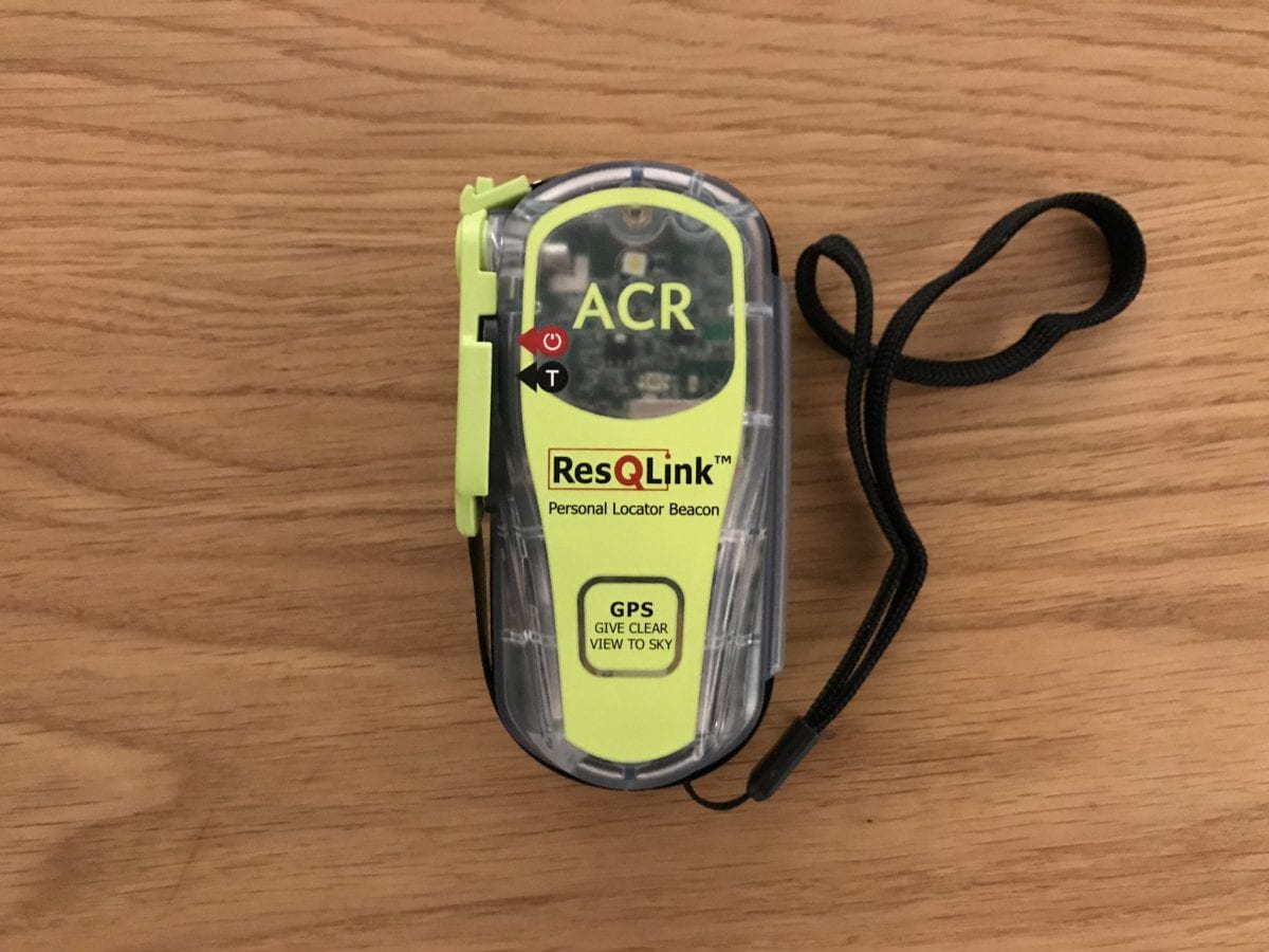
Your own weather emergency system. As soon as I heard the news of the flash flood, I called my dad and brother (who both are fully aware of my full plans – one of my general safety tips). I asked them to install the Arabia Weather app as well, to regularly check on the Department of Meteorology site and keep me informed via text message and -in case of emergencies- via my Garmin InReach Mini. This way, I would still have a team that would be looking for weather warnings, even if I would be missing out on them on the trail – either because I was busy hiking or because of missing data connection on my phone.
So, find someone in your group of friends and/or family who can act as an extra check on the weather – your own Safetravel service.
It’s better to be safe than sorry.
So, what are your tips?
6 comments