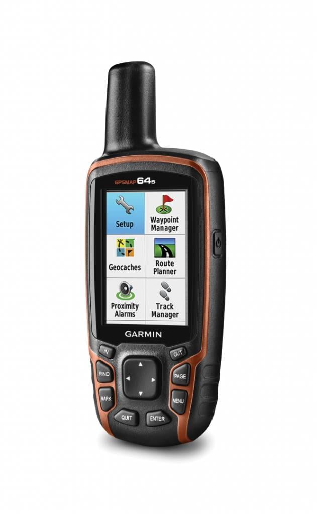
After I almost got lost in a snowstorm during my Fimmvörðuháls trail solo hike in Iceland, I decided I needed a robust navigation system. Rather than fully relying on my iPhone and iPhone GPS maps, I really wanted a device that would not compete with battery life with my camera, Whatsapp and email, but would be solely dedicated on navigation. I eventually settled on the Garmin GPSMAP 64s (full specs on the Garmin website). I field-tested it during my Jordan Trail solo hike (my full packing list). Here are my takeaways for the Garmin GPSMAP 64s.
Deciding on the Garmin GPSMAP 64s
While picking a new navigation device, I considered several options:
- One of my existing devices: Although I use my iPhone as navigation device sometimes (usually as a backup), I did not want to drain my already limited battery life even more. Additionally, my iPhone isn’t as robust (dropping, scratching, etc) as most navigation devices. Other Garmin devices I owned (Forerunner watch, InReach) didn’t have the screen size or functionality I needed.
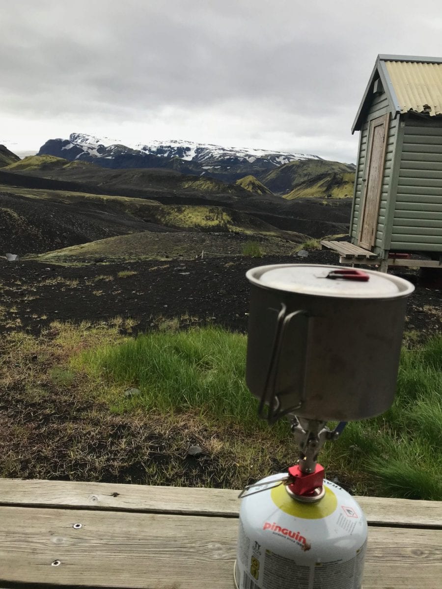
- Touch-screen devices. I had already noticed during my Laugavegur and Fimmvörðuháls trail solo hikes in Iceland that touch-screen devices just are sub-optimal in Winter circumstances. With another Greenland Arctic Circle Trail planned, that did not seem the best option.
So, I finally settled on the Garmin GPSMAP 64s as it seemed the best, most all-round-tested, reliable device available on the market. Every bug and feature has been extensively reported on, map packs are readily available, etc etc.
Field testing the Garmin GPSMAP 64s
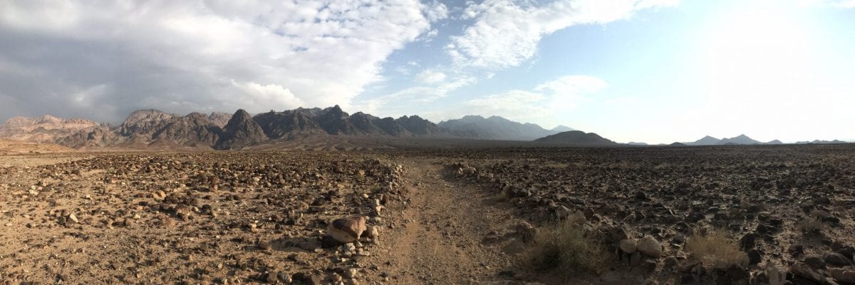
The Jordan Trail and more particularly the Dana to Petra stretch was pretty much the ultimate test for my Garmin GPSMAP 64s. The trail has hardly any signage and relies heavily on a GPS device. On many different occasions, I had to zoom in as much as 12m to make sure to stick to the right path.
The display is great and easy to read even in the sun. The GPS was great in keeping me on track. Battery life is ok-ish, but I expected a bit more (I would usually have to charge the device on the end of the day) – too bad as well that the device does not support USB quick charge. Measuring distances works pretty good, but unfortunately doesn’t take meandering paths into consideration – it merely measures distances as the crow flies.
Despite all the GPS’s strong points, I made a grave navigational error on my second day of hiking – which made me end up climbing out of a canyon to get back on track. I must stress this was not due to the Garmin GPSMap 64s. I failed to zoom in enough to see that the official path was leading me on top of a hill, where I ended up struggling on a slope … about 7 meters below the official path. Another reminder how important GPS devices are.
What a Garmin GPSMAP 64s is for
A Garmin GPSMAP 64s does a lot of simple things remarkably well, especially under harsh circumstances (full specs on the Garmin website).
- Control a device. The Garmin GPSMAP 64s does not have a touchscreen, but super robust buttons on the side of the device. That makes it easy to control the device even in harsh circumstances with gloves on.
- Basic navigation. Keeping track of your location, logging points of interest, map navigation functionalities are basic, but more than enough.
- Connect with other Garmin devices. By connecting the Garmin GPSMAP 64s to a Garmin Android/iOS app, the possibilities are expanded even further. It is easy to share your waypoints, tracks, routes and geocaches wirelessly with other compatible devices. Simply press “send” to transfer your information to another Garmin handheld.
What a Garmin GPSMAP 64s is not for
While the Garmin GPSMAP 64s does a lot of simple things remarkably well, especially under harsh circumstances, it is just not for fancy stuff under normal circumstances (let alone in harsh circumstances).
If you’re looking for a fancy touchscreen navigation (or super easy navigation at all), a mini iPhone to call your friends or if fancy Instagram photos are more important than SOS buttons, the Garmin GPSMAP 64s is not for you. Next to the device, I usually pack my iPhone (for photos and backup GPS), my Garmin InReach Mini and a Personal Locator Beacon (PLB).
The practical stuff and conclusion – Garmin GPSMAP 64s
It is hard to imagine in ten years, we will be using a Garmin GPSMAP 64s. The navigation and display scream early 2000s. But if you are willing to accept that, the Garmin GPSMAP 64s is a super robust, simple device that does the things it should do remarkably well – pinpoint your location, find other trails, measure distances. And do all these things when wearing gloves (or sunscreen) in challenging weather circumstances.
I paid €279,00 for my Garmin GPSMAP 64s.

6 comments